How GPS Works: An Explainer on Satellite Navigation
GPS knows your location by using signals from a network of satellites orbiting Earth. Your receiver calculates distances to pinpoint its position.
The short answer
GPS works by using a receiver, like the one in your phone, to listen for signals from a constellation of over 30 satellites orbiting Earth. By calculating its distance from at least four of these satellites, the receiver can determine its precise location.
Key takeaways
- GPS relies on a network of over 30 satellites, ground stations, and receivers.
- Satellites broadcast signals with precise time information from atomic clocks.
- Your GPS receiver calculates its distance from multiple satellites based on signal travel time.
- It needs signals from at least four satellites to determine latitude, longitude, altitude, and time.
- The US Space Force operates GPS, providing accurate positioning services globally.
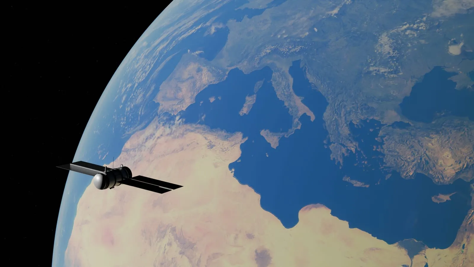
The Global Positioning System (GPS) is a system of over 30 navigation satellites orbiting Earth [,]. By precisely measuring the time it takes for these signals to arrive from several satellites, the receiver calculates its distance from each one. This process is how GPS works to provide accurate positioning data.
The Three Parts of GPS
The Global Positioning System (GPS) is an American satellite-based radio navigation service. It is made up of three main parts: satellites, ground stations, and receivers,. The US Space Force operates GPS, which is owned by the US government,.
GPS provides services for positioning, navigation, and timing (PNT). This means it helps you find your location, guides you to a destination, and gives accurate time information. For example, when you use a mapping app on your phone, the app uses GPS to show your current spot on the map (positioning) and gives you directions to where you want to go (navigation). The system also ensures that the timestamps on your digital photos are accurate (timing).
How Satellites Locate You
A GPS receiver, like the one in your phone, finds your location by listening for signals from satellites. There are over 30 navigation satellites orbiting Earth that make up the GPS system. These satellites constantly send out signals.
Each satellite has atomic clocks, which provide very precise time data. This time information is part of the codes the satellites broadcast. Your receiver uses the difference between the time a signal was sent and when it was received to work out how far away that satellite is.
The signal also includes data that helps the receiver figure out where the satellites are in space. This data also allows for adjustments to improve accuracy. For example, signals can slow down when passing through the Earth’s atmosphere, so receivers need to correct for these delays.
To determine its location, a GPS receiver calculates its distance from four or more GPS satellites,,.
The Role of Ground Stations
Ground stations are an essential part of the GPS system. They track the satellites and make sure they are in the correct positions. These stations use radar to confirm the satellites’ actual locations in space.
The ground stations also monitor and control the satellites. This helps them figure out where each satellite has been and where it is expected to go. This constant monitoring is vital for keeping the GPS system accurate.
Think of it like air traffic control for satellites. Without ground stations, the satellites could drift off course, and your GPS device would not be able to pinpoint your location reliably. For example, if you are using GPS to navigate to a new restaurant, the ground stations ensure the signals from the satellites are precise enough to guide you correctly.
Pinpointing Your Exact Spot
GPS receivers use a mathematical process to pinpoint your exact location. They do this by measuring the distance to several satellites.
To calculate your position in three dimensions, a receiver needs range information from at least three satellites. It also needs to know the precise location of those satellites. This data allows the receiver to work out its own latitude, longitude, and altitude.
However, receivers do not have the expensive, highly accurate atomic clocks that GPS satellites use. This difference in timing could lead to errors. To correct for this, the receiver takes a measurement from a fourth satellite. This additional measurement allows the receiver to accurately determine its own time, along with its latitude, longitude, and altitude.
GPS can typically determine a location within a few yards. For example, if you are using your phone’s GPS, it can usually place you within about 7 meters of your actual spot, 95% of the time, almost anywhere on Earth.
The GPS Satellite Constellation
The GPS system relies on a network of satellites orbiting Earth. These satellites are in medium Earth orbit (MEO) at about 20,180 km (12,540 miles) above the planet. Each satellite completes two orbits around the Earth every day.
The first GPS satellite launched on February 22, 1978. Today, the US Space Force maintains at least 31 operational GPS satellites, a number it has kept for over ten years. As of July 3, 2023, there were 31 active satellites in the constellation. The US aims to have at least 24 operational satellites available 95% of the time.
These satellites are not randomly placed. The GPS constellation is organized into six equally-spaced orbital planes, each containing four baseline satellites. This arrangement means that from almost any point on Earth, you can typically see at least four satellites. This visibility is key for your GPS receiver to accurately determine its location.
Beyond GPS: Other Navigation Systems
While GPS is widely known, it is not the only satellite navigation system available. Other countries and regions have developed their own global navigation satellite systems (GNSS).
These include GLONASS from Russia, Galileo from the European Union, and BeiDou from China. Like GPS, these systems provide positioning, navigation, and timing services. They all offer free access to their services for users around the world.
Many modern devices, such as smartphones and car navigation units, can use signals from multiple GNSS. This capability can improve accuracy and reliability, especially in areas where the view of the sky is partially blocked, like in cities with tall buildings. For example, your phone might combine data from GPS and Galileo satellites to get a more precise location fix. Using multiple systems can also help maintain a signal if one system has fewer satellites visible.
Practical Uses of GPS
GPS technology helps us in many everyday situations. For example, GPS guides drivers with navigation apps, helping them find the best routes and avoid traffic. It also helps delivery services track packages and manage their fleets efficiently.
Beyond personal use, GPS is vital for monitoring natural events. Scientists use it to track tsunamis, volcanoes, and earthquakes, which helps in issuing early warnings and understanding these phenomena better.
In the United States, the National Oceanic and Atmospheric Administration (NOAA) uses a network of permanent GPS stations. These stations, known as Continuously Operating Reference Stations, monitor the Earth’s surface movements. This data is important for various professional fields. This broad application shows how GPS supports both public safety and commercial activities.
Frequently asked questions
How accurate is GPS?
The basic GPS service can determine a location within about 7.0 meters, 95% of the time, almost anywhere on Earth. More advanced receivers can achieve accuracy down to a few inches.
Who operates the GPS system?
The US Space Force operates the Global Positioning System. It is an American satellite-based radio navigation service that provides positioning, navigation, and timing services.
Are there other satellite navigation systems?
Yes, other global navigation satellite systems (GNSS) exist, including Russia's GLONASS, the European Union's Galileo, and China's BeiDou. These systems also offer free services internationally.
Sources
Facts in this article were checked against these sources. Spotted an error? Report a correction.
- 1Global Positioning System - Wikipediaen.wikipedia.org
- 2How Does GPS Work? | NASA Space Place – NASA Science for Kidsspaceplace.nasa.gov
- 3
- 4
- 5Home | GPS.govgps.gov
- 6Space Segment | GPS.govgps.gov